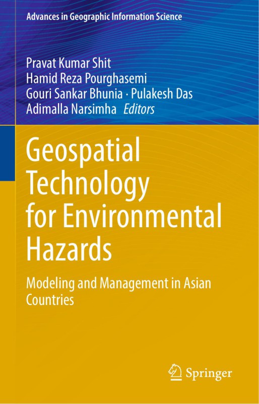
Geospatial Technology for Environmen 1st edition by Pravat Kumar Shit, Hamid Reza Pourghasemi, Gouri Sankar Bhunia, Pulakesh Das, Adimalla Narsimha 9783030751975 303075197X
$50.00 Original price was: $50.00.$25.00Current price is: $25.00.
Authors:Pravat Kumar Shit, Hamid Reza Pourghasemi, Gouri Sankar Bhunia, Pulakesh Das, Adimalla Narsimha , Series:IT & Computer [116] , Tags:Computer Engineering; Information Management; Information Technology , Author sort:Pravat Kumar Shit, Hamid Reza Pourghasemi, Gouri Sankar Bhunia, Pulakesh Das, Adimalla Narsimha , Languages:Languages:eng , Published:Published:Nov 2021 , Publisher:Springer , Comments:The content of this book will be of interest to researchers, professionals, and policymakers, whosework involves environmental hazards and related solutions.« less; « less
Geospatial Technology for Environmen 1st edition by Pravat Kumar Shit, Hamid Reza Pourghasemi, Gouri Sankar Bhunia, Pulakesh Das, Adimalla Narsimha – Ebook PDF Instant Download/Delivery. 9783030751975, 303075197X
Full download Geospatial Technology for Environmen 1st edition after payment

Product details:
ISBN 10: 303075197X
ISBN 13: 9783030751975
Author: Pravat Kumar Shit, Hamid Reza Pourghasemi, Gouri Sankar Bhunia, Pulakesh Das, Adimalla Narsimha
The book demonstrates the geospatial technology approach to data mining techniques, data analysis, modeling, risk assessment, visualization, and management strategies in different aspects of natural and social hazards. This book has 25 chapters associated with risk assessment, mapping and management strategies of environmental hazards. It covers major topics such as Landslide Susceptibility, Arsenic Contaminated Groundwater, Earthquake Risk Management, Open Cast Mining, Soil loss, Flood Susceptibility, Forest Fire Risk, Malaria prevalence, Flood inundation, Socio-Economic Vulnerability, River Bank Erosion, and Socio-Economic Vulnerability. The content of this book will be of interest to researchers, professionals, and policymakers, whose work involves environmental hazards and related solutions.
Geospatial Technology for Environmen 1st Table of contents:
1. Geospatial Technology for Multi-hazard Risk Assessment
2. GIS-Based Landslide Susceptibility Mapping in Eastern Boundary Zone of Northeast India in Compliance with Indo-Burmese Subduction Tectonics
3. Social Vulnerability of Arsenic Contaminated Groundwater in the Context of Ganga-Brahmaputra-Meghna Basin: A Critical Review
4. Impact Assessment of Open Cast Mining Activity in ADDA Region, Paschim Barddhaman on Land Surface Temperature
5. Effect of Land Use/Land Cover Change on Soil Loss in the Tropical River Catchment of Northeast India
6. Application of Geoinformatics and AHP Technique to Delineate Flood Susceptibility Zone: A Case Study of Silabati River Basin, West Bengal, India
7. Soil Loss Estimation Using Models and Field Database in Lateritic Badlands, Eastern India: Evaluation and Validation
8. Forest Fire Risk Zone Mapping in Tropical Forests of Saranda, Jharkhand, Using FAHP Technique
9. Impact of Land Use/Land Cover Changes on Climate Change Parameters
10. Application of Geospatial Technique in Analysis of Malaria Prevalence in an Endemic Area of Ranchi, India
11. Assessment on Social Vulnerability to Adapt the Hindrances of Natural Hazards in Purba Medinipur District, West Bengal, India
12. Understanding the Development and Progress of Extremely Severe Cyclonic Storm “Fani” Over the Bay of Bengal
13. AHP-Based Spatial Composite Impact Assessment Model (SCIAM) of Highway Broadening in Sikkim Himalaya
14. Evaluation of Post-Seismic Ground Deformation Using the D-InSAR Technique
15. Spatial Clustering of P. falciparum Malaria Epidemiology in Murshidabad District
16. Mapping, Measuring and Modelling Common Fluvial Hazards in Riparian Zones: A Brief Review of Relevant Concepts and Methods
17. Village Level Landslide Probability Analysis Based on Weighted Sum Method of Multi-Criteria Decision-Making Process of Darjeeling Himalaya, West Bengal, India
18. Vulnerability Assessment of Landslide with the Help of Geospatial Approach in Western Himalayas, Upper Basin of River Sutlej, India
19. Application of Fractal Dimension Technique on a Badland Topography in Tapi Basin, Deccan Trap Region, India
20. Flood Hazard Mapping in Assam Using Sentinel-1 SAR Data
21. Assessment of Socio-Economic Vulnerability in a Forested Region: An Indicator-Based Study in Bankura District of West Bengal, India
22. Assessing River Bank Erosion in the Ganges Using Remote Sensing and GIS
23. Spatiotemporal Detection and Delineation of Bhagirathi-Hooghly River Bank Erosion Using GIS Analytics, West Bengal, India
24. Landslide Susceptibility Mapping in Gangtok, Sikkim Himalaya
25. Glacial Lake Outburst in Uttarakhand (India): Role of Geospatial Technology for its Mitigation Strategy
Back Matter
People also search for Geospatial Technology for Environmen 1st:
geospatial technology for modelling of urban environment
geospatial technology for landscape and environmental management
what are some examples of geospatial technology
what is geospatial technology used for


