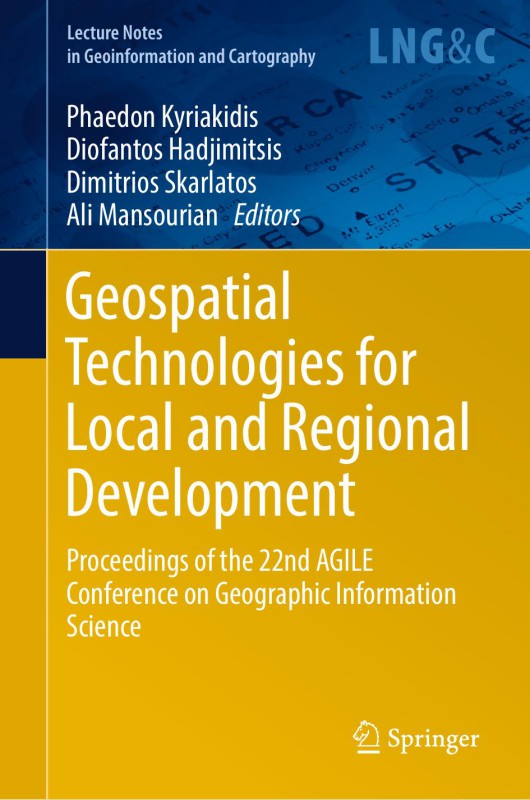
Geospatial Technologies for Local and Regional Development Proceedings of the 22nd AGILE Conference on Geographic Information Science 22nd edition by Phaedon Kyriakidis, Diofantos Hadjimitsis, Dimitrios Skarlatos, Ali Mansourian 9783030147457 3030147452
Original price was: $50.00.$25.00Current price is: $25.00.
Authors:Phaedon Kyriakidis , Series:IT & Computer [103] , Tags:Information Technology; Computer Engineering , Author sort:Kyriakidis, Phaedon , Languages:Languages:eng , Published:Published:Apr 2019 , Publisher:Springer , Comments:Comments:AGILE, the Association of Geographic Information Laboratories in Europe (https:// agile-online.org), aims to promote research and academic teaching on geographic information systems and science at the European level and beyond, as well as to stimulate and support networking activities between member laboratories (groups or departments). AGILE has been holding annual conferences at different locations across Europe since 1998, having varying themes and foci depending on current developments and trends in the field. The conferences attract a wide range of researchers and practitioners in geographic information science and allied fields, who develop and employ geospatial theories, methods and technologies for better spatial-enabled planning, decision-making and society engagement. AGILE annual conferences accept full papers, short papers, as well as poster contributions, and typically include a workshop day prior to the main conference. For more than a decade, full papers submitted to the AGILE annual conference have been published, after undergoing blind peer review, as a book by Springer International Publishing AG in its Lecture Notes in Geoinformation and Cartography series. It is this combination of breath in thematic coverage and quality of research that has led to the annual AGILE conference been considered as the hallmark conference on geographic information science in Europe

